Lib62: St. Louis city map and adjoining municipalities
Files
(click image to view full size)

Dublin Core
Title
Lib62: St. Louis city map and adjoining municipalities
Description
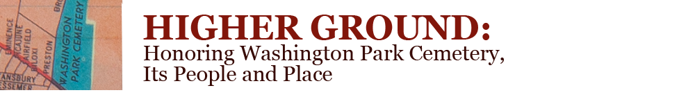
Map showing Washington Park Cemetery and vicinity before the construction of interstate highways. Courtesy of Missouri History Museum.
Creator
Ashburn Maps
Source
Missouri History Museum
Date
1955
Citation
Ashburn Maps, “Lib62: St. Louis city map and adjoining municipalities,” WUSTL Digital Gateway Image Collections & Exhibitions, accessed July 16, 2024, http://omeka.wustl.edu/omeka/items/show/13475.