Back to Collection: Rare Books Digital Gallery
The Ribbon Map of the Father of the Waters
Dublin Core
Title
The Ribbon Map of the Father of the Waters
Description
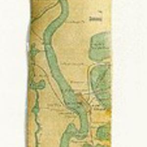
Seen here are a few inches of a map whose length stretches to nearly 11 feet: The Ribbon Map of the Father of the Waters, published in St. Louis in 1866.
The linen-mounted map unrolls from a wooden cylinder in a strip about 2 inches wide by 129 inches long and shows plantations, towns, landings, and mileage points along the Mississippi as they existed just after the Civil War.
Gift of Mr. Lewis P. Andrews, Jr.
The linen-mounted map unrolls from a wooden cylinder in a strip about 2 inches wide by 129 inches long and shows plantations, towns, landings, and mileage points along the Mississippi as they existed just after the Civil War.
Gift of Mr. Lewis P. Andrews, Jr.
Date
1866
Citation
“The Ribbon Map of the Father of the Waters,” WUSTL Digital Gateway Image Collections & Exhibitions, accessed July 27, 2024, http://omeka.wustl.edu/omeka/items/show/7645.

