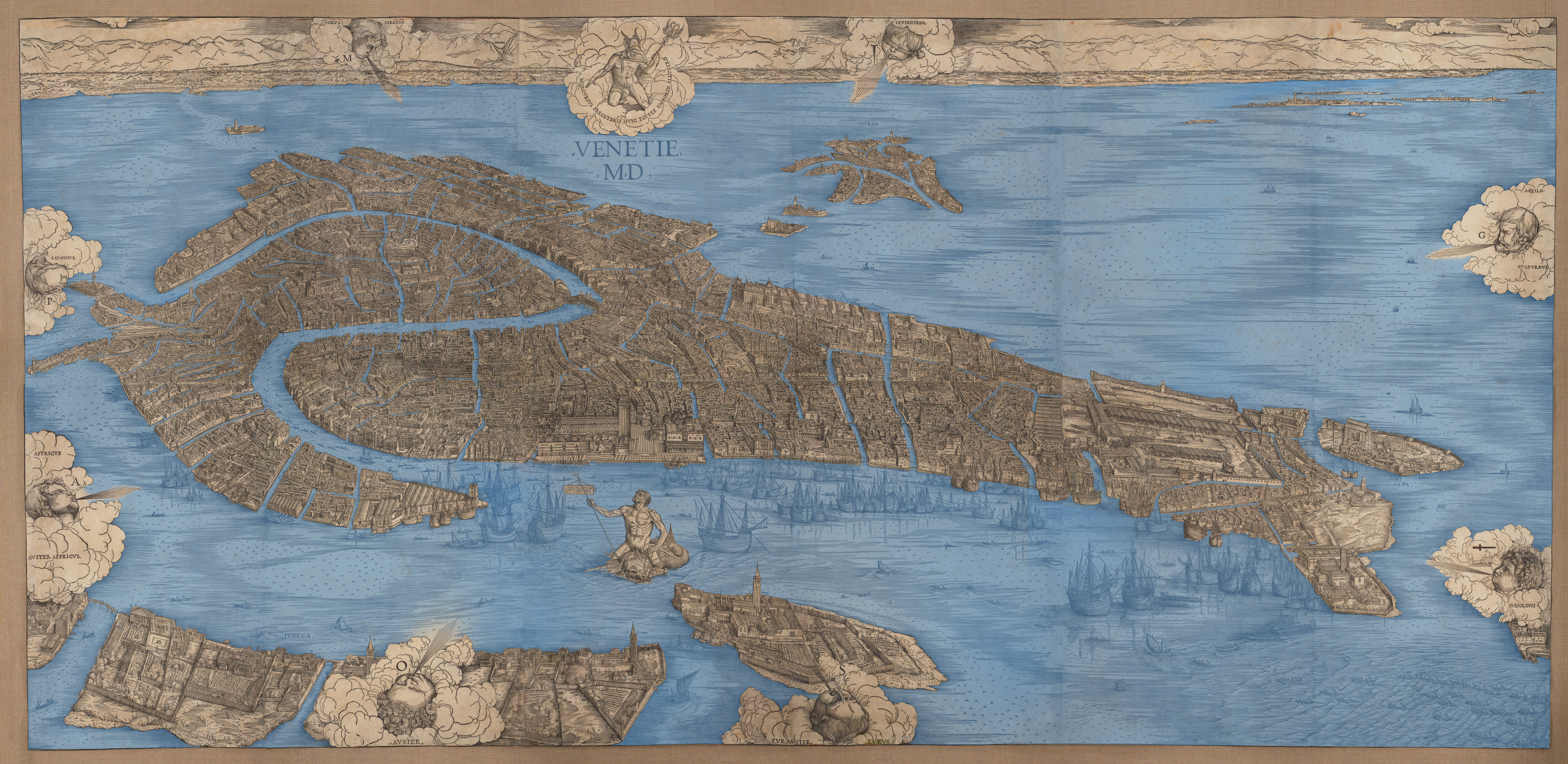
Censo Stabile, Archivio di Stato di Venezia, 1804-1852
The Censo Stabile is a surveyed census map of Venice, ordered by the Napoleonic government in 1807, continued into the period of Austrian rule over the city, and completed in 1852. The map is subdivided according to the city’s six sestieri: Castello, San Marco, Cannaregio, Santa Croce, San Polo, and Dorsoduro. These maps are extremely helpful for comparison with earlier views and plans because of their accuracy and their close (but not perfect) relationship with Venice’s built fabric as it exists today. Such comparisons must take care to consider building chronologies and urban developments, including instances where a canal (rio) was covered to make a pedestrian way, known as a rio terà.
